Skip to content
maps.gallery
by
Polygonia
Explore
#30DayMapChallenge
Map of the day
About
Sign in
Submit
a map
Explore
#30DayMapChallenge
Map of the day
About
Sign in
Explore
Search
Maps
about
planning and land, hazards
and 1 other
,
in France
,
by every
author
.
Find
Clear all
Planning and land
Hazards
Mobility
France
7 maps
Edit
See also:
France
(atlas)
Maps
Most recent
Most viewed
Selection
7 maps
Filters
4
active filters
Filters
Clear all
Type
All
7
Interactive
3
Static
4
Theme
Map art
5
Environment and climate
4
Water
4
Economy and jobs
3
Mobility
3
Heritage and culture
3
Energy
3
Planning and land
3
Tourism and leisure
3
Demographics and society
2
Hazards
1
Elections and politics
1
Health
1
Agriculture and forestry
1
Place
France
Choose from the list
Scale
Continents
1
Countries
3
Intercommunalities
1
Municipalities
2
Author
Choose from the list
Tool
LinkedIn
3
Web
4
Show 7 maps
7 maps
Mobility
France · LinkedIn
·
1
view
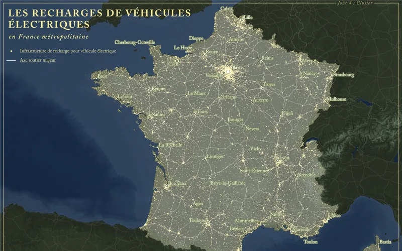
Electric vehicle charging in mainland France
AB Pictoris
Map art
Lille · Web
·
2
views
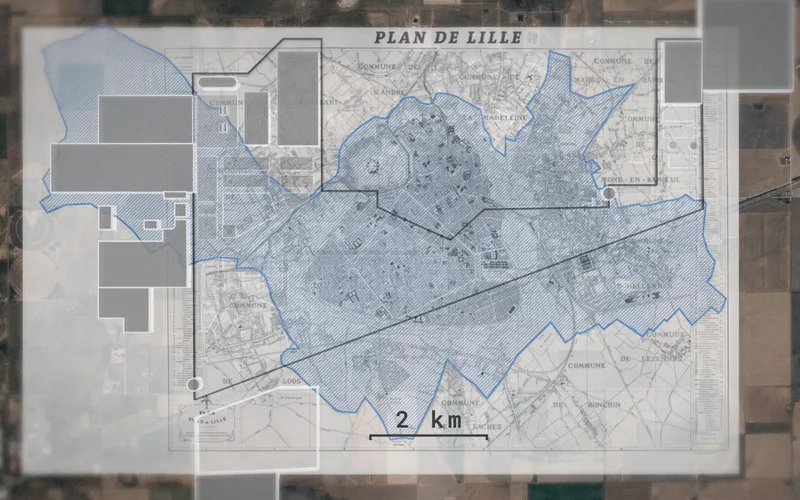
A data center campus overlaid on the plan of Lille
Le Monde
Mobility
Métropole de Lyon · LinkedIn
·
2
views
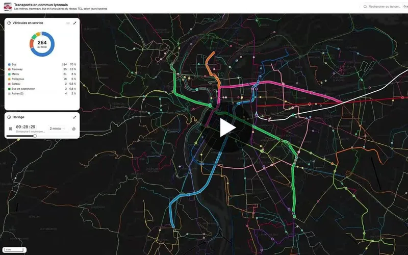
Lyon public transport in real time
Bastien MARSAUD
Mobility
France · Web
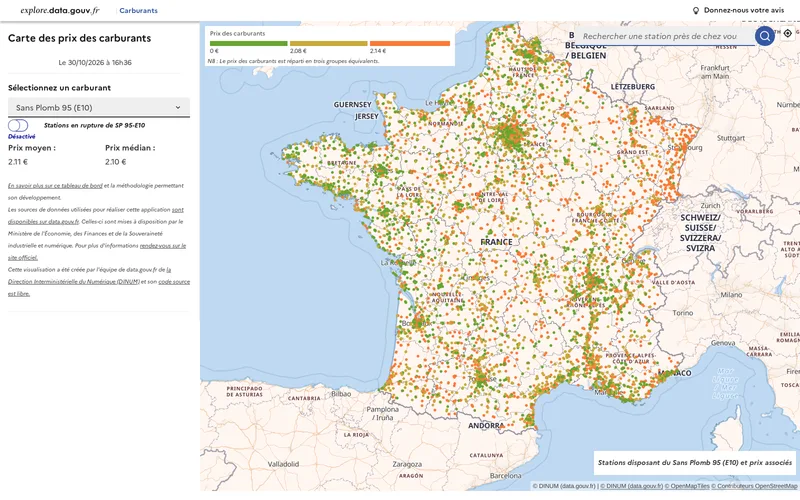
Fuel prices at service stations in France
data.gouv
Planning and land
France · Web
·
1
view
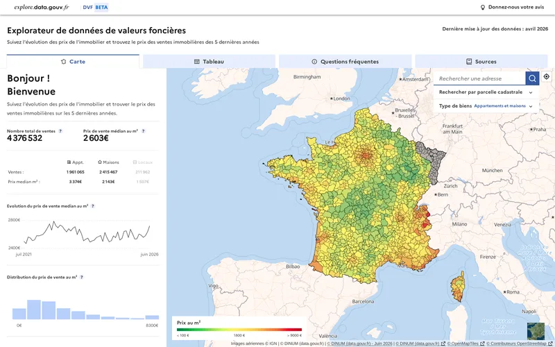
Median sale price per m² of real estate in France
data.gouv
Energy
Paris · LinkedIn
·
3
views
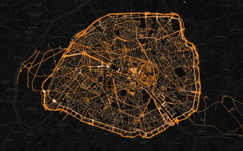
The Lights of Paris Seen from Above
Bastien MARSAUD
Hazards
Europe · Web
·
1
view
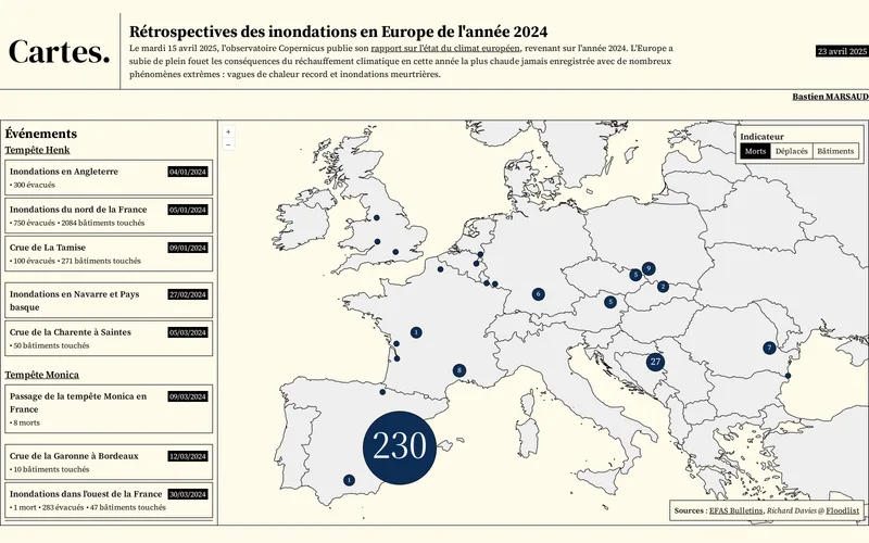
Review of the 2024 floods in Europe
Bastien MARSAUD