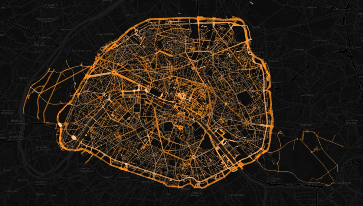
The Lights of Paris Seen from Above
Dark-background map of Paris public lighting fixtures, each shown as a circle sized by its illumination radius. Point colour reflects lamp colour temperature, from 1800 to 8500 K.
- Author
 Bastien MARSAUDPolygonia
What the map shows
The map displays the City of Paris's street lighting points, including the Boulevard Périphérique, the Bois de Boulogne and Bois de Vincennes, and the major avenues. Each point corresponds to a lighting installation. The size of the circle reflects the illumination radius, calculated from the light intensity, and the color matches that of the lamp (1800 to 8500 K). The dark basemap highlights the network, which is dense in the center and along the main thoroughfares, and sparser in the parks. The visualization gives a nighttime image of the city, but the legend is not visible and precise values cannot be read on the image.
Sources
- Open data Ville de Paris
- DINUM (fond de plan Dark Matter)