Shipping routes
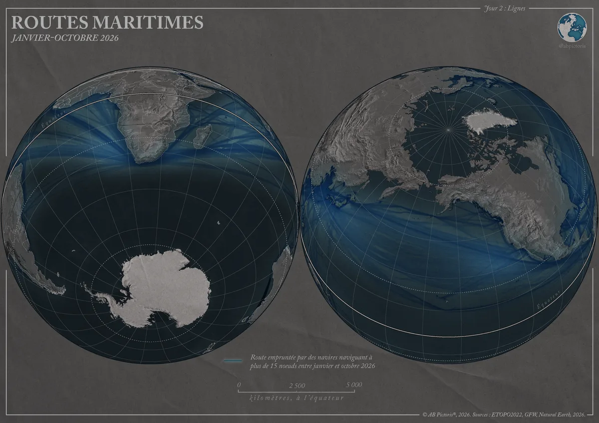
Globe map in two hemispheres, centred on the South Pole and the North Pole, showing routes of vessels sailing faster than 15 knots from January to October 2026. The Cape of Good Hope holds a central place.
- Places
- Collection
What the map shows
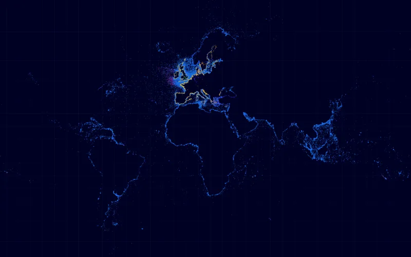
The map uses an orthographic projection and shows two hemispheres turned towards the poles: Antarctica and southern Africa on the left, the Arctic and North America on the right. The blue traces are routes used by vessels exceeding 15 knots, most likely container ships. The denser the traces, the lighter the shade. The relief comes from ETOPO2022. The author states that the aim is mainly aesthetic: passages such as Malacca or the Red Sea are not clearly visible. The map does not represent all maritime traffic.
Sources
- Global Fishing WatchView
- ETOPO2022
- Natural Earth