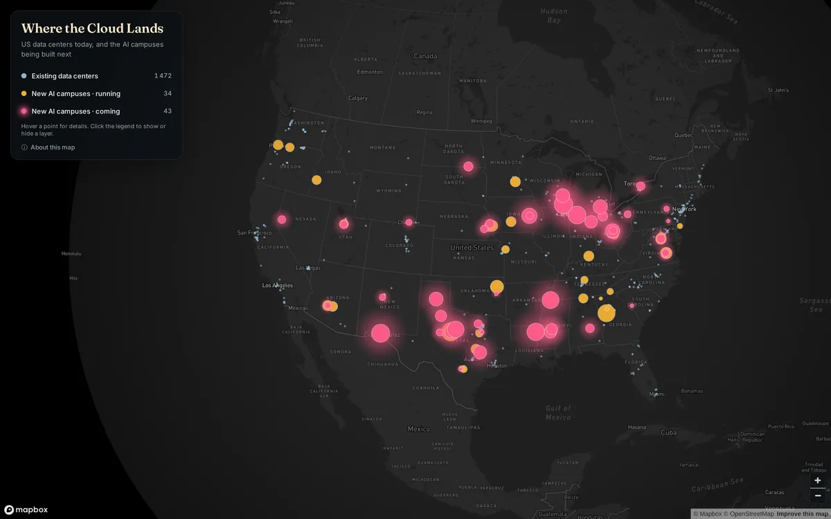
EnergyUnited States · Web1view
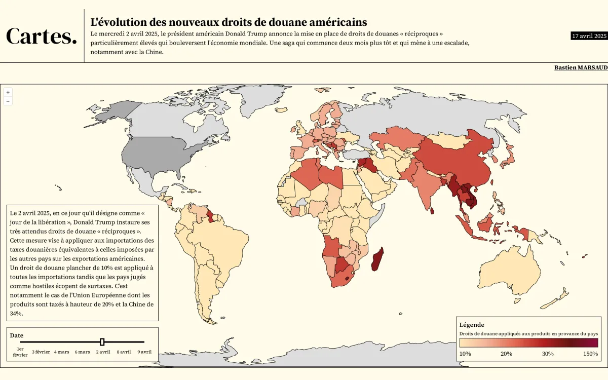
Friday 6 November · previous maps
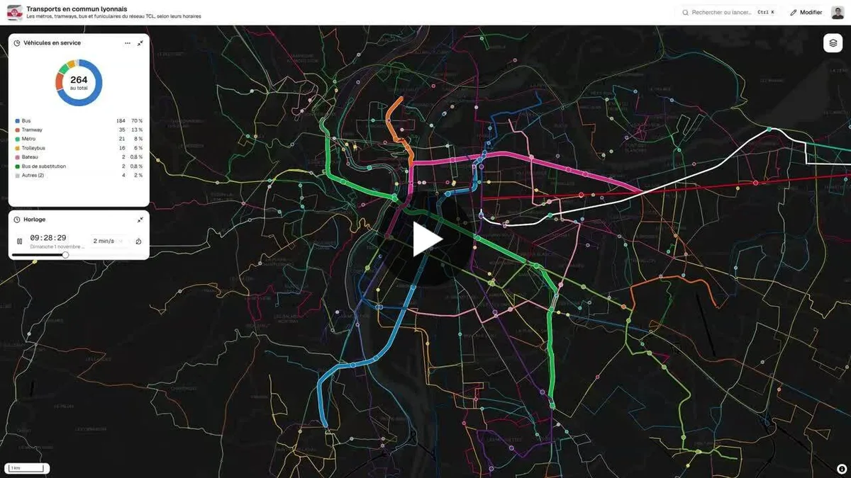
Animated map of the Lyon public transport network (metro, trams, buses, trolleybuses, funiculars, boats) showing vehicle positions computed from timetables. It covers the Lyon Metropolis.

Join the community: submit a link to your map, or an image of it. It gets described, filed and made easy to find, and you can follow its views. No sign-up, no password.