Maps worth
a closer look.
0 maps for “parcelles agricoles”
Clear filtersMap of the day
Friday 6 November · previous maps
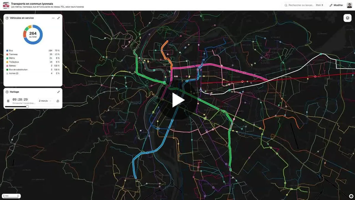
Lyon public transport in real time
Animated map of the Lyon public transport network (metro, trams, buses, trolleybuses, funiculars, boats) showing vehicle positions computed from timetables. It covers the Lyon Metropolis.
- Author
 Bastien MARSAUDPolygonia
- Themes
- Places
#30DayMapChallenge 2026
All the challenge's mapsYour map deserves to be seen.
Join the community: submit a link to your map, or an image of it. It gets described, filed and made easy to find, and you can follow its views. No sign-up, no password.